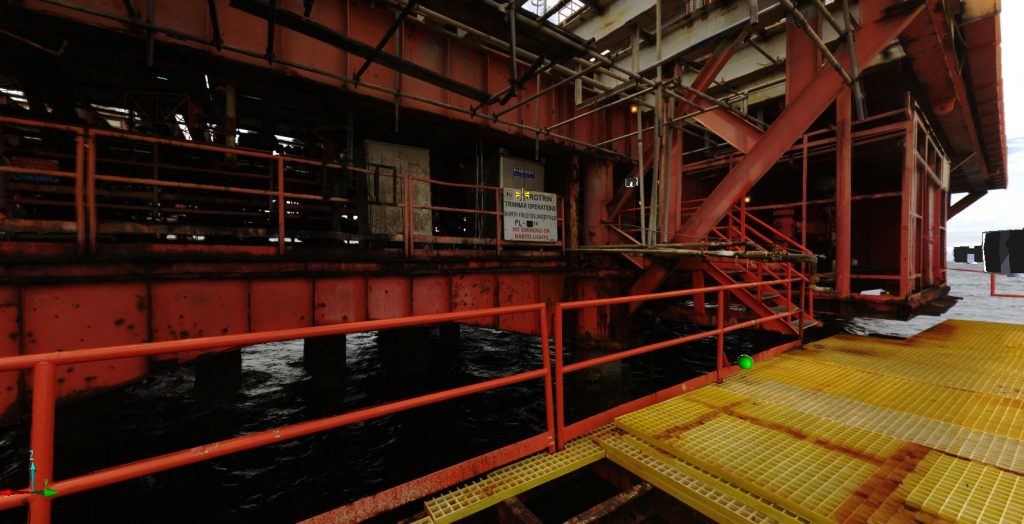
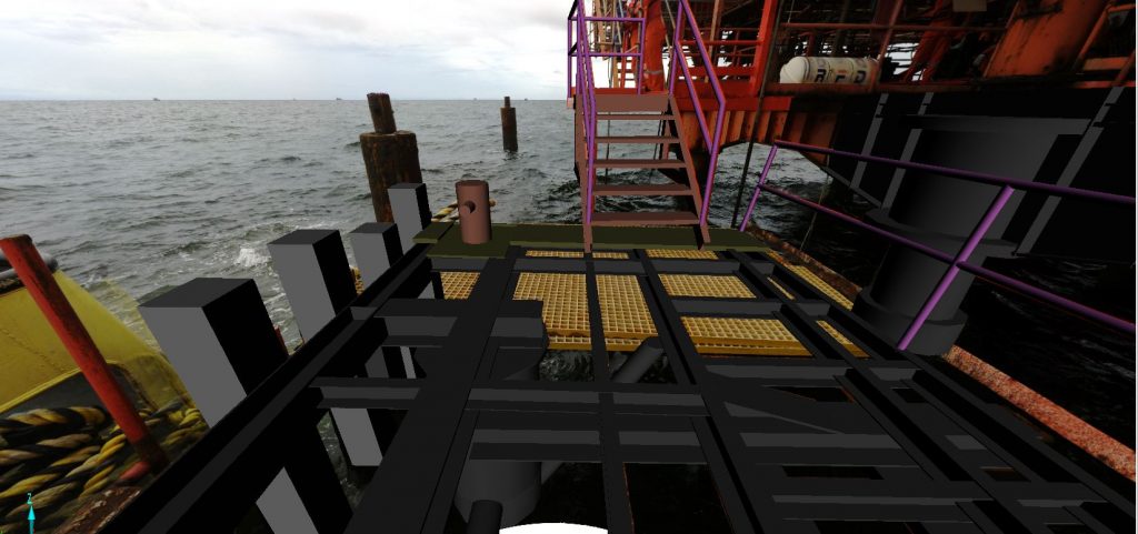
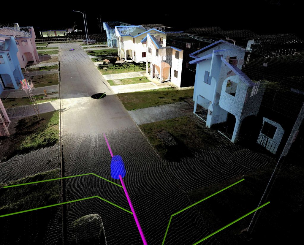
Acquisition of aerial and terrestrial digital imagery which can be used for topographic mapping. measurement, image analysis, change detection and aerial photographic inspections.