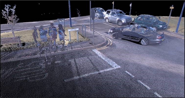
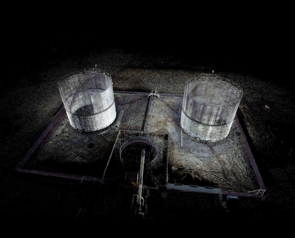
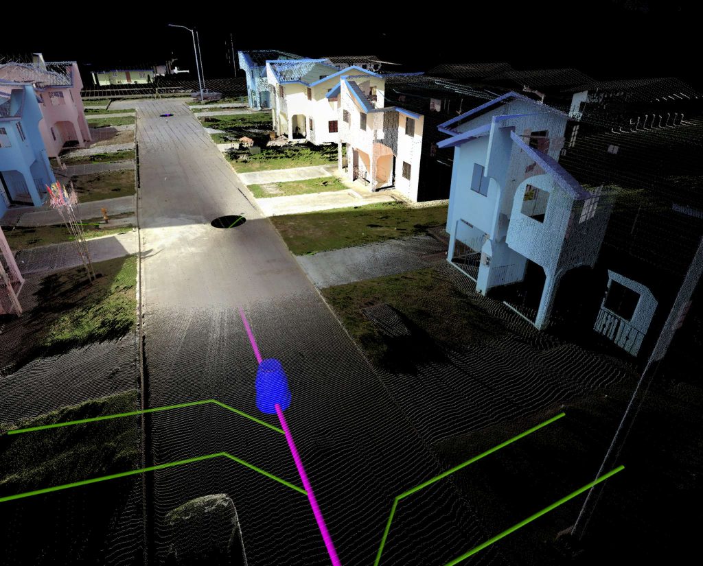
Includes LiDAR and terrestrial 3D laser scanning to determine the precise elevation and geospatial location of terrestrial objects and features.
Three-dimensional topographic plans, highly accurate surveys of both surface terrain elements and man-made structures and 3D models can be created from this form of data capture.